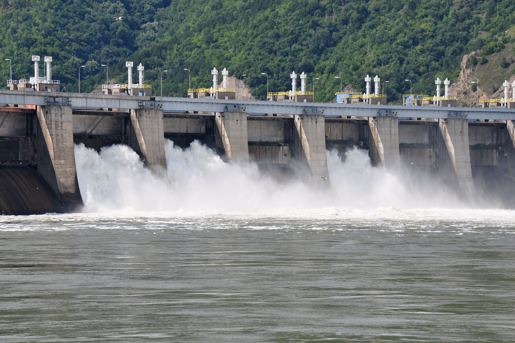
As we begin our research on the earthquake slated to hit the Pacific Northwest and wreck havoc on many of the structures that predated knowledge and subsequent policy of earthquake preparation, we are constantly reminded that the last earthquake to hit Oregon occurred well before Euro-American settlement. The historic (and subsequent temporal removal) is major reasons why both the infrastructure, disaster recovery plans, and the population of Portland, Oregon and coastal communities are so unprepared and vulnerable to earthquake damage. One such structure that was constructed pre-earthquake knowledge is the Bonneville Dam, located about 40 miles east of Portland. In order to better understand the risks and hazards of large earthquakes on Bonneville Dam, we obviously cannot learn about the possible effects of earthquake shaking, landslides, and tsunamis by examining the yet unshaken Bonneville Dam. Therefore, we must broaden our scope and examine the behavior of dams and slopes in earthquakes elsewhere. For purposes of comparison, I will include the failed Fujinuma Dam from the 2011 Fukushima event, several dams on the Bio Bio River in Chile after the February 2010 event, and the 1959 Hebgen Lake earthquake in Western Montana.
Fujinuma Dam (Fukushima 2011)
On March 11, 2011, the 9.0 Fukushima Tohoku event that struck Japan caused the complete failure of the Fujinama earthen-fill embankment dam in Sukagawa City, Fukushima Prefecture. While most of the dams in Japan experienced very little or no damage from the earthquake, the Fujinuma dam was overtopped by the reservoir about 20 minutes after the earthquake which resulted in a flood that killed 8 people. The dam was built between 1937 and 1949, roughly the same time period as the Bonneville Dam. Unlike the Bonneville Dam, however, the Fujinama is an earthen dam that is only 18.5 meters high and used primarily for irrigation. The dam failure mechanism was overtopping due to a drop in crest elevation. This drop in crest elevation was due to a range of possible explanations: an upstream slope failure, a downstream slope failure resulting from sliding on thick organic paleo-soils, downstream sliding through poorly compacted fill, or possibly through internal erosion (Pradel et al, 2012). Based on observations, a team of scientists from the USA determined that the most likely mode of failure was a seismically induced downstream landslide with a basal plane located through the highly organic residual soil layer (Pradel et al 2012). See the video above for Pradel et al’s model for the modes of failure of the Fujinama dam.
Bio Bio River (Chile 2010)
On February 27th, 2010, a Magnitude 8.8 earthquake shook Chile and caused a massive power outage in the Bio Bio region. While most of the dams in the region performed well, several earthen dams and levees were breached. While the hydroelectric dams on the Bio Bio river remained intact and generating power, the transmission systems of the SIC (Sistemo Interconectado Central) failed and took weeks to recover. According to Gary Hughes, the communities closest to the dam were left in the dark the longest. While this event doesn’t indicate that dams are necessarily at a high risk of complete failure, this power outage has implications for vulnerable energy infrastructure and equity in the process of recovering from natural disaster induced blackouts. Further, in a region that continues to build more and bigger dams, this event strikes a cautionary note that rings loud for those opposed to continued construction of dams in seismically active Patagonia. River recreationists who lose whitewater opportunities due to dam construction are among those opposed to the building of Chilean dams.
Hebgen Lake (Montana 1959)
The earthquake that struck western Montana in 1959 is extremely relevant to the situated context of the Bonneville Dam because it caused an extremely large landslide and hit an earthen dam which held. At 11:37 pm on August 17th, a earthquake measured at both a 7.3 and 7.5 on the Richter scale struck the western part of the Yellowstone Caldera at Hebgen Lake, lasting between 30 and 40 seconds. The landslide volume was approximately 80 million tons, which created hurricane force winds, and blocked the Madison River. This blockage created Quake Lake, a pool that rose to 53 feet within a matter of days. The entire landscape dropped about 20 feet whereas Hebgen Lake itself rose about 8 feet. The winds and the landslide caused 28 deaths and about $11 million (1959 US$) in damage.
As for the dam, Hebgen Dam is a 85 foot tall concrete core earthen dam built in 1914, used to store and regulate water for downstream hydroelectric operations. In 1959, the dam was overtopped by a series of waves resulting from the landslide displacing water in the lake, but the dam held. Other damages include cracks in the concrete core, erosion and displacement in the downstream embankment, damage in the spillway, and other damages that were all repaired. Much more recently, a near failure of Hebgen Dam occurred when several intake stoplogs failed and resulted in an uncontrolled release of water. The cause is yet unknown, but engineers are currently updating the structure to withstand another large earthquake and communities downstream undergo a yearly drill to practice the Emergency Action Plan for dam failure.
References
Cope, Benjamin.”Upgrading Hebgen Dam to Withstand a Potential Second Earthquake.” Accessed 3/19/2016. Last modified 09/25/2014. http://www.hydroworld.com/articles/hr/print/volume-33/issue-7/cover-story/upgrade-bringing-hebgen-dam-up-to-modern-seismic-design-standards.html
EERI. “Learning from Earthquakes, Geotechnical Effects of the Mw 9.0 Tohoku, Japan, Earthquake of March 11, 2011,” Earthquake Engineering Research Institute, Special Earthquake Report, September 2011.
Hughes, Gary G. “Chile’s Dam Affected Communities Left in the Dark After Massive Earthquake.” International Rivers. Creative Commons, 24 Mar. 2010. Web. 1 Apr. 2010. https://compass.illinois.edu/webct/urw/lc5116011.tp0/cobaltMainFrame.dowebct
Pradel, Daniel, Joseph Wartman, and Binod Tiwari, “FAILURE OF FUJINUMA DAM DURING THE 2011 TOHOKU EARTHQUAKE.” Paper presented at the 9th International Conference on Urban Earthquake Engineering/ 4th Asia Conference on Earthquake Engineering, March 6-8, 2012, Tokyo Institute of Technology, Tokyo, Japan.
Stover, Carl and Jerry Coffman. Abridged from Seismicity of the United States, 1568-1989 (Revised). U.S. Geological Survey Professional Paper 1527, United States Government Printing Office, Washington: 1993. Accessed 03/19/2016. http://earthquake.usgs.gov/earthquakes/states/events/1959_08_18.php
Wikipedia contributors, “Fujinuma Dam,” Wikipedia, The Free Encyclopedia, https://en.wikipedia.org/w/index.php?title=Fujinuma_Dam&oldid=681231623 (accessed March 19, 2016).
Wikipedia contributors, “Hebgen Dam,” Wikipedia, The Free Encyclopedia, https://en.wikipedia.org/w/index.php?title=Hebgen_Dam&oldid=694011856 (accessed March 19, 2016).
Wikipedia contributors, “1959 Hebgen Lake earthquake,” Wikipedia, The Free Encyclopedia, https://en.wikipedia.org/w/index.php?title=1959_Hebgen_Lake_earthquake&oldid=696909639 (accessed March 19, 2016).