Drifting down the river, you are overcome with a sense of isolation. Though the rest of your classmates float all around, and even sit in the same boat, you are at peace in solitude. Moreover, you feel connected to your surroundings. You can see why this particular stretch of river has been used as a highway and a home for hundreds of years, by both Maori and Europeans alike.

Shortly before stepping into canoes, we listened to the history of this part of the Whanganui as told by someone whose family had lived in the area since it was settled by Europeans. He told us of the constant traffic along the water, both of people and livestock that were the primary industry of the rural townstead of Pipiriki. This was only about 100 years ago, when New Zealand was more sparsely populated and pastoral than it is today. This area was on the rise as a population center until world economies fell during the 1930s. At this point, the government stopped maintaining infrastructure, eventually forcing people to move away from the river. This allowed native vegetation to reclaim cleared farmland, creating dense patches of second-growth forest within a sea of old-growth vegetation.
These second-growth patches are only visible today, 80 years after farming ceased, if you know what to look for:
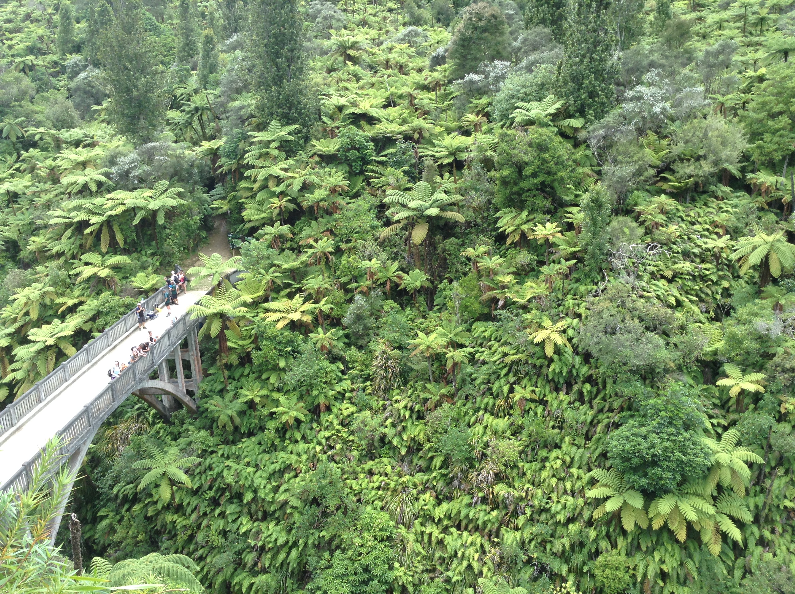
Native tree ferns must be early-successional species, since they dominated so quickly. Ferns are also well-represented in the understory of established forests. They stand out around the Whanganui because the canopy is too young to have distinct levels.
Being able to appreciate the ecology of this place makes it so much more beautiful than it already is.